
Fichier:Surrey UK locator map 2010.svg

Taille de cet aperçu PNG pour ce fichier SVG : 494 × 600 pixels. Autres résolutions : 198 × 240 pixels | 395 × 480 pixels | 633 × 768 pixels | 843 × 1 024 pixels | 1 687 × 2 048 pixels | 1 108 × 1 345 pixels.
Fichier d’origine (Fichier SVG, nominalement de 1 108 × 1 345 pixels, taille : 302 Kio)
| Ce fichier et sa description proviennent de Wikimedia Commons. | Accéder au fichier sur Commons |
Description
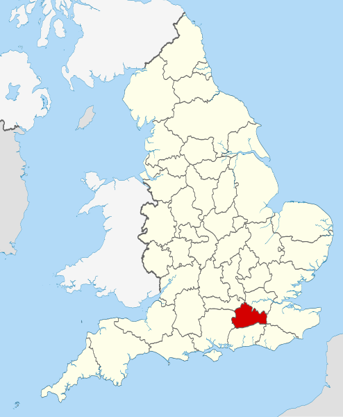
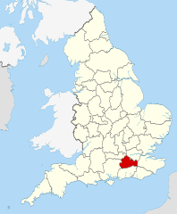
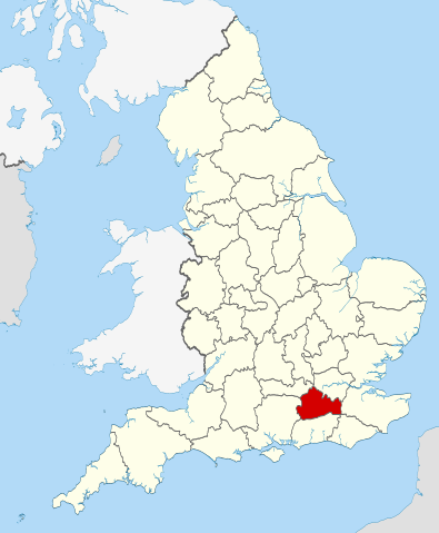
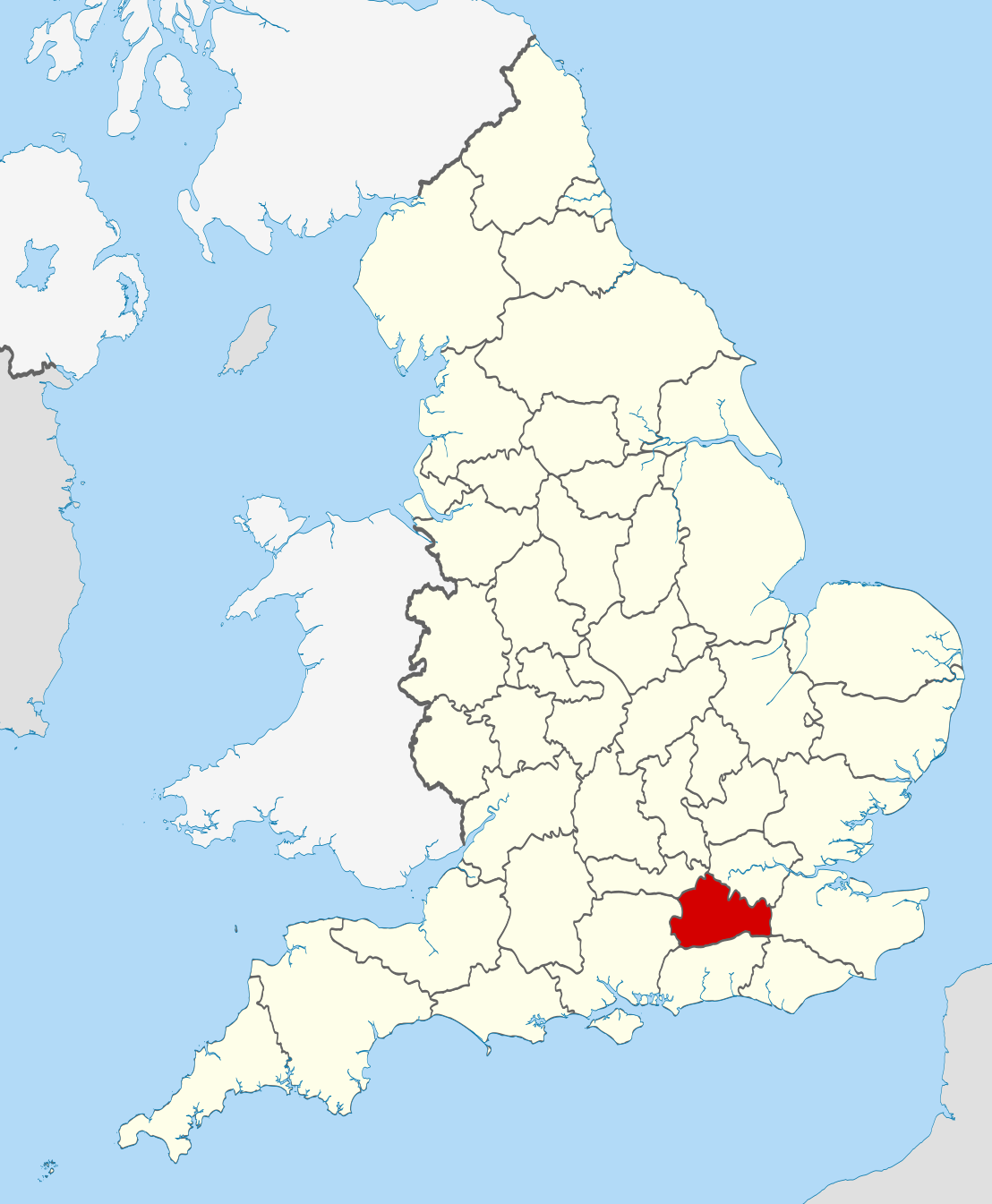
| Description | Location of the ceremonial county of Surrey within England. |
| Date | |
| Source |
National Geospatial-Intelligence Agency
|
| Auteur | Nilfanion |
Conditions d’utilisation
Moi, en tant que détenteur des droits d’auteur sur cette œuvre, je la publie sous les licences suivantes :
Ce fichier est disponible selon les termes de la licence Creative Commons Attribution – Partage dans les Mêmes Conditions 3.0 (non transposée).
- Vous êtes libre :
- de partager – de copier, distribuer et transmettre cette œuvre
- d’adapter – de modifier cette œuvre
- Sous les conditions suivantes :
- paternité – Vous devez donner les informations appropriées concernant l'auteur, fournir un lien vers la licence et indiquer si des modifications ont été faites. Vous pouvez faire cela par tout moyen raisonnable, mais en aucune façon suggérant que l’auteur vous soutient ou approuve l’utilisation que vous en faites.
- partage à l’identique – Si vous modifiez, transformez, ou vous basez sur cette œuvre, vous devez distribuer votre contribution sous la même licence ou une licence compatible avec celle de l’original.

|
Vous avez la permission de copier, distribuer et modifier ce document selon les termes de la GNU Free Documentation License version 1.2 ou toute version ultérieure publiée par la Free Software Foundation, sans sections inaltérables, sans texte de première page de couverture et sans texte de dernière page de couverture. Un exemplaire de la licence est inclus dans la section intitulée GNU Free Documentation License. |
Vous pouvez choisir l’une de ces licences.

|
Ceci est une des images constituant une partie de l'ensemble d'images de valeur : Locator maps of the Ceremonial counties of England, sur Wikimedia Commons. Le groupe d'images a été validé selon les critères pour les ensembles d'images de valeur et a été considéré comme étant l'ensemble possédant la plus grande valeur sur Commons dans la thématique :
Locator maps of the Ceremonial counties of England
Vous pouvez consulter la proposition sur Commons:Valued image candidates/Locator maps of English ceremonial counties. |
Historique du fichier
Cliquer sur une date et heure pour voir le fichier tel qu'il était à ce moment-là.
| Date et heure | Vignette | Dimensions | Utilisateur | Commentaire | |
|---|---|---|---|---|---|
| actuel | 23 novembre 2010 à 22:45 | | 1 108 × 1 345 (302 Kio) | Nilfanion | == Summary == {{Information |Description=Location of the ceremonial county of Surrey within England. |Source=Ordnance Survey [https://www.ordnancesurvey.co.uk/opendatadownload/products.html OpenData]: *County boundaries |
Utilisation du fichier
La page suivante utilise ce fichier :
Usage global du fichier
Les autres wikis suivants utilisent ce fichier :
- Utilisation sur af.wikipedia.org
- Utilisation sur ar.wikipedia.org
- Utilisation sur arz.wikipedia.org
- Utilisation sur ast.wikipedia.org
- Utilisation sur azb.wikipedia.org
- Utilisation sur az.wikipedia.org
- Utilisation sur be-tarask.wikipedia.org
- Utilisation sur be.wikipedia.org
- Utilisation sur bg.wikipedia.org
- Utilisation sur ca.wikipedia.org
- Utilisation sur ceb.wikipedia.org
- Utilisation sur cs.wikipedia.org
- Utilisation sur el.wikipedia.org
- Utilisation sur en.wikipedia.org
- Surrey
- Winkworth Arboretum
- Witley Common
- Farley Green, Surrey
- Ribsden Holt
- Template:Surrey-geo-stub
- Winterfold Forest
- The Rye (brook)
- Savill Garden
- Wey South Path
- Ramster
- Blackheath Common
- Sandhills, Surrey
- Molesey Reservoirs
- Knight Reservoir
- Sunnyside Reservoir
- Salfords and Sidlow
- Woolmer Hill
- Frimley Lodge Park
- Grade I listed buildings in Surrey
- Coldharbour, Surrey
- Mogador, Surrey
- Haste Hill
- Penton Hook Marina
- Mole Gap Trail
- Rushmoor, Surrey
- Grade II* listed buildings in Surrey
- 1977 Surrey County Council election
- Template:Infobox English county/testcases
- Truss's Island
- Chitty's Common
- Milton Heath and The Nower
- Utilisation sur eo.wikipedia.org
- Utilisation sur es.wikipedia.org
Voir davantage sur l’utilisation globale de ce fichier.